Board Structure
A district can have a total maximum of 7 board members. Elected Board members serve a four-year term. By law, municipalities in a district are eligible to appoint up to 2 board members, who serve 3-year terms. Associate supervisors are appointed by the board and do not vote on actions. Current board members are listed below.
Current Board
Elliot Merja
Scott Brown
Gayla Wortman
Stevie Neuman
John Chase
Kathie Lahti
Marc Shane
Past, Present, & Future of Conservation Districts
more about ccd
What is Cascade Conservation district?
Cascade Conservation District is one of 58 Conservation Districts in Montana that provides local citizens with opportunities to shape natural resource planning in their area.
Historically, Conservation Districts grew from public concern for the condition of our natural resources going back to the 1930s. In 1935, the US Congress declared soil and water conservation to be national policy, with the passage of Public Law 46. At the state level, Montana Conservation District Law (MCA 76 chapter 15) was enacted to allow land users to form soil and water conservation districts.

Establishing the Cascade County Conservation District
In 1944, the Sun River Soil Conservation District was activated. It covered the irrigated area along the Sun River, including parts of Teton and Lewis & Clark Counties as well as a portion of Cascade County. And, in 1946, the balance of Cascade County was organized into the Cascade Soil and Water Conservation District.
George Grosskopf of Armington and Bowen Conrad of Cascade were the first two supervisors appointed by the State Soil Conservation Committee and Harold Shane, Ted Pettyjohn and A.P. Andersen were elected to serve the newly formed district. Andersen served as the first chairman. These same supervisors served until 1964.
In 1960, the two districts merged as one, the Cascade County Soil and Water Conservation District. In 1971, the District adopted its current name, the Cascade County Conservation District. The District is located at the southern apex of the Golden Triangle area of Montana. It is bordered on the south by the Big Belt and Little Belt Mountains and on the east by the Highwood Mountains. It covers an area of 1,701,760 acres, extending 66 miles wide, east to west, and 66 miles long, north to south.

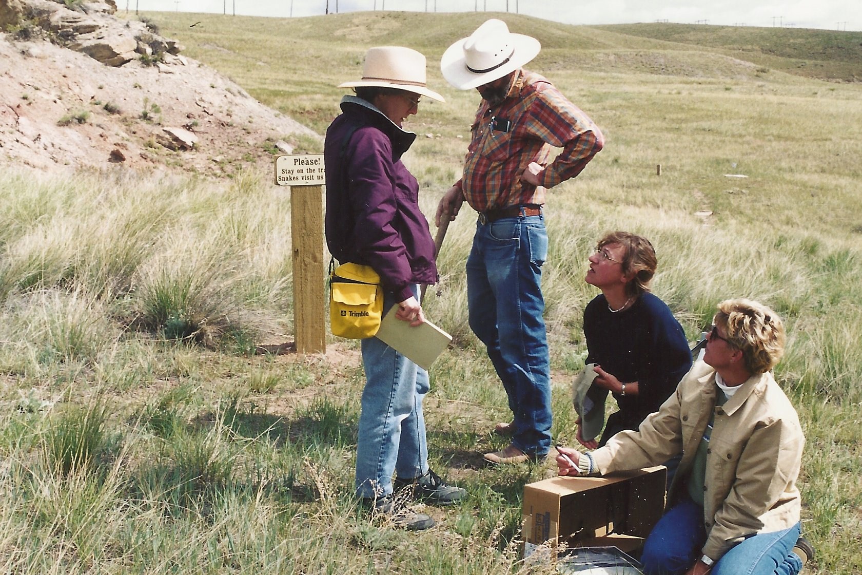
Cascade Country Conservationists at work in the 1990s
how cascade county came to be
In the 1860’s, the first recorded permanent settlers were located in the Chestnut Valley near the present town of Cascade, and on June 30, 1867, Fort Shaw was established on the Sun River west of the “great falls of the Missouri” to protect travelers between Fort Benton and Helena, and from there was freighted by wagons to Helena. The post was an important stopping point en route, but as more people began to inhabit the area, the need for military protection was significantly reduced, so in 1891 the garrison was abandoned.
In 1881, the townsite of Great Falls was surveyed by Paris Gibson, and the city incorporated in 1888. In September of 1887, Cascade County was organized from parts of Chouteau, Lewis and Clark and Meagher counties.
Agriculture in the District was entirely developed to ranching before the advent of the railroad in 1887. By 1918, most of the arable land had been developed into farms and continuous cropping was the accepted method of farming. In the 1920s farmers began to adopt alternate crop-fallow as a more reliable system of farming.
what ultimately led to the creation of Conservation Districts
By the 1930s, the mounting problems of soil erosion, floods, and dust storms resulted in Congress passing Public Law 46 in 1935. This law declared soil and water conservation and wise land use a national policy. However, there was a missing link in making the wheels of this policy turn, so in 1937 the President wrote governors of the states recommending legislation allowing landowners to form soil and water conservation districts. The President’s recommendations were followed through with 2950 conservation districts representing all 50 states, the Virgin Islands and Puerto Rico.